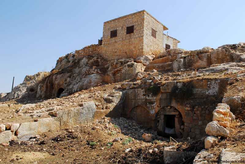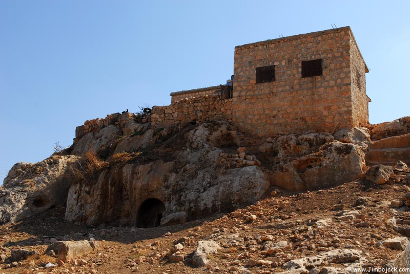
The Dead Cities date from the time when the northern part of Syria (between Aleppo-Hama in the east, and the Orontes river in the west) was part of the hinterland of the Byzantine Christian city of Antioch. There are thought to be nearly 800 sites, some of them being single monuments, others being whole villages containing houses, churches, wine presses, baths, etc. Among the sites are over 2,000 churches, spread over a hilly area measuring about 140km by 30km. UNESCO is currently in the process of declaring the whole area a World Heritage Site, which would make it the sixth in Syria.
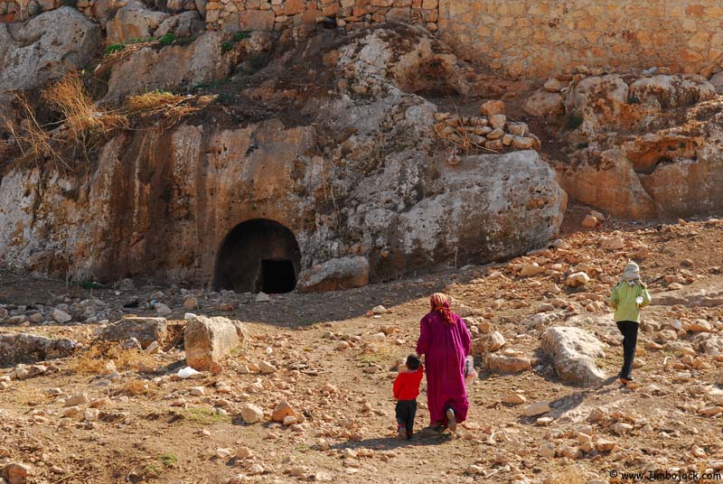
Nobody is quite sure why these sites were all abandoned, but the current theory is that it was due to demographic shifts, trade routes changed and the people moved (other theories include Muslim invasions, Christian persecution, nomad incursions). Some of the Dead Cities are lived in to this day, local villagers use the temples and churches to keep their goats and sheep, and build mud-brick houses against old walls and caves. Wood was scarce in the region, so most of the permanent buildings were built from stone (no cement was used), which is why most of the cities are in such a good condition.
The general layout of a settlement was usually surrounded by an enclosure wall containing watch towers. There were paved streets running between market places, monasteries, churches, inns, private homes and public meeting places. Market stalls lined the streets, most private houses had 2 stories and were decorated with colonnades and logias. The necropolis was usually on the outskirts of the settlement and contained various types of tombs, some designed like temples, some carved out of rock, others contained massive sarcophagi placed on bare earth. Many of the buildings contain inscriptions which give the name of the owner or deceased, date of construction or even personal wishes and invocations.
The cities were first "discovered" by westerner Marquis de Vogue who visited the area in 1860. American expeditions in 1899,1901, 1904, and 1905 followed, after which 20th century archeologists started doing more extensive studies of the region.
The vast majority of the sites are not in any guidebooks, and many have no names. Some of them are inhabited by wild dogs which have been known to attack visitors (I had this problem in Ruweiha, and ended up carrying around a big stick with me as a deterrent).
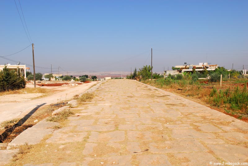
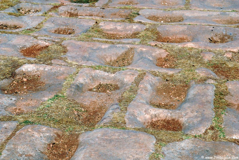
One of the last stretches of Roman roads remaining in Syria. The rocks in the second picture have been worn out by the hooves of horses and donkeys loaded with cargo.

Remains of a Byzantine fortress
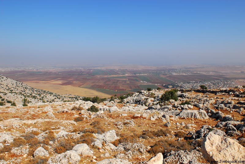
Syria/Turkey border. The completely dry area of the field is Syria, the cultivated fields are on the Turkish side
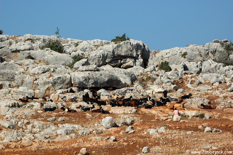
Shepherd and his goats
Qalb Lozeh
This is one of the best preserved Syrian-Byzantine ecclesiastical buildings. The church is thought to have been built during the lifetime of St. Simeon (who died in 459) or right after his death. It was designed as a stop-off point for pilgrims (the worlds first tourists!) on their way to the famous St. Simon monastery and to see Simon on top of his pillar. The facts that no other buildings survived in the area intact, that it was far too big for the local village population, and that a walled compound surrounded the church confirm that it was designed as a pilgrimage site. The church is almost completely intact and the structure, columns and classical decoration are a precursor to the Romanesque style which became very popular in Europe. Many of its features were copied, enhanced and refined in the great basilica of St. Simeon which was built several decades later. It was rediscovered in 1862 by Frenchman Marquis de Vogue, and studied in detail in 1935 by the French Dead City specialist Georges Tchalenko.
Today the church is located right next to a Druze village of Qalb Lozeh (meaning "heart of the almond" in Arabic) and is just a couple of kilometers from the Turkish border. Unfortunately, parts of the north wall have been taken by local villages and used in various building projects over the years.
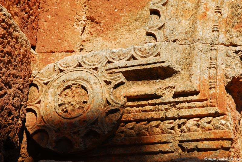
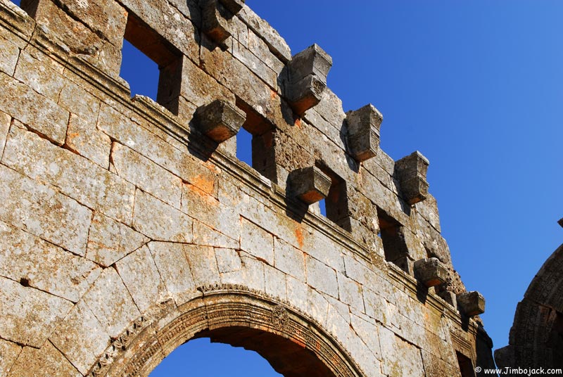
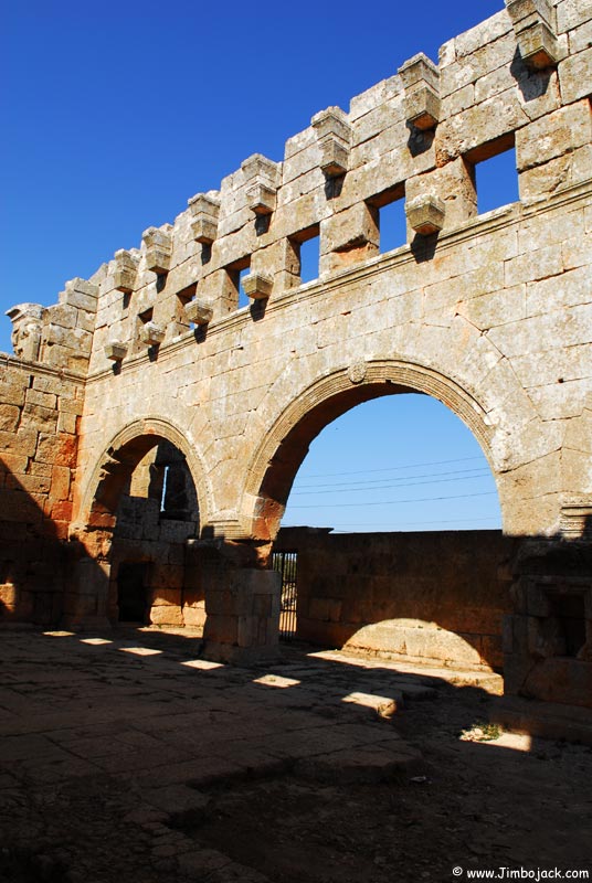
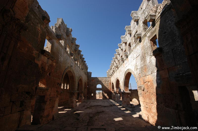
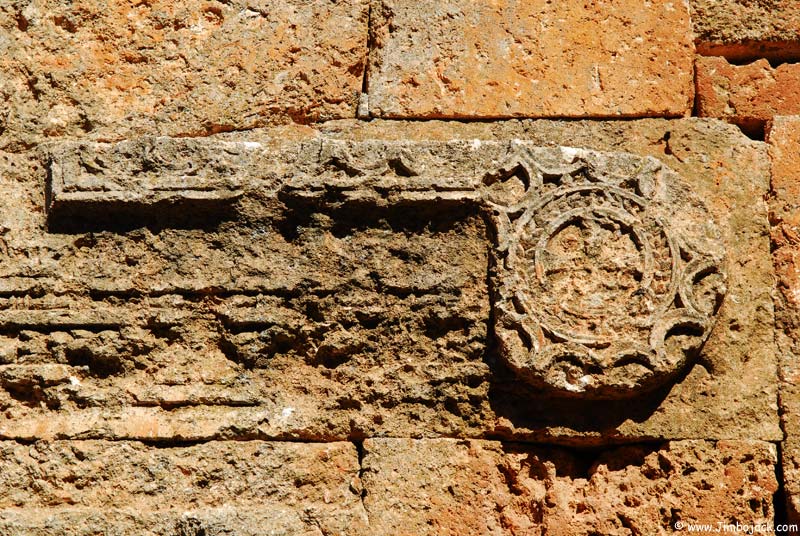
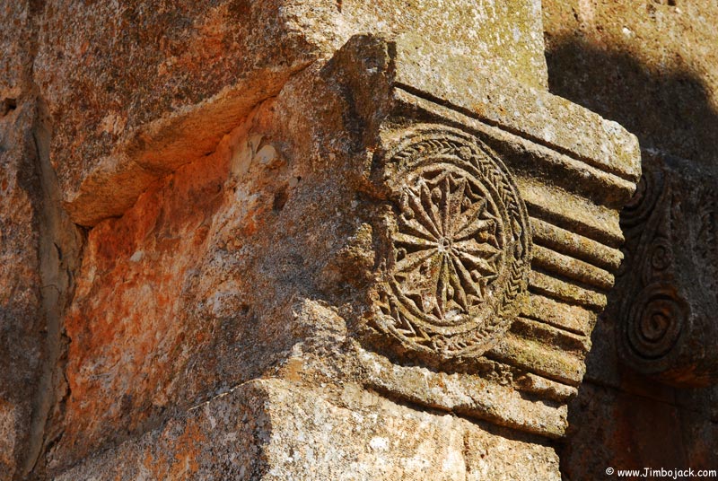
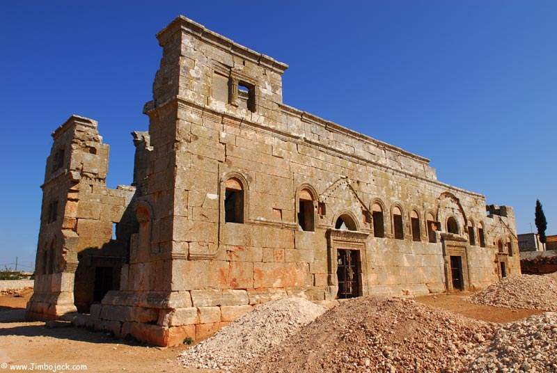
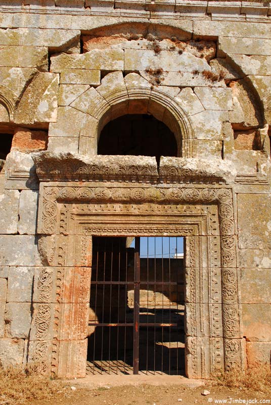
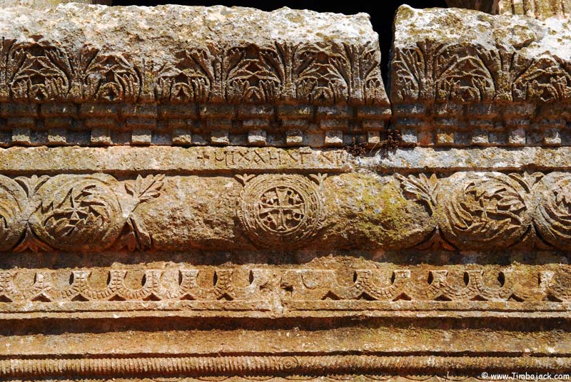
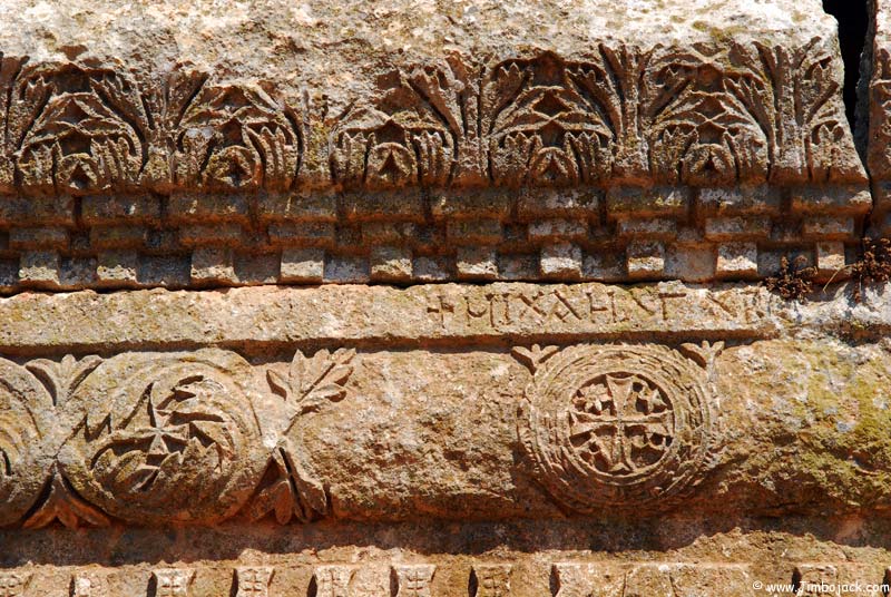
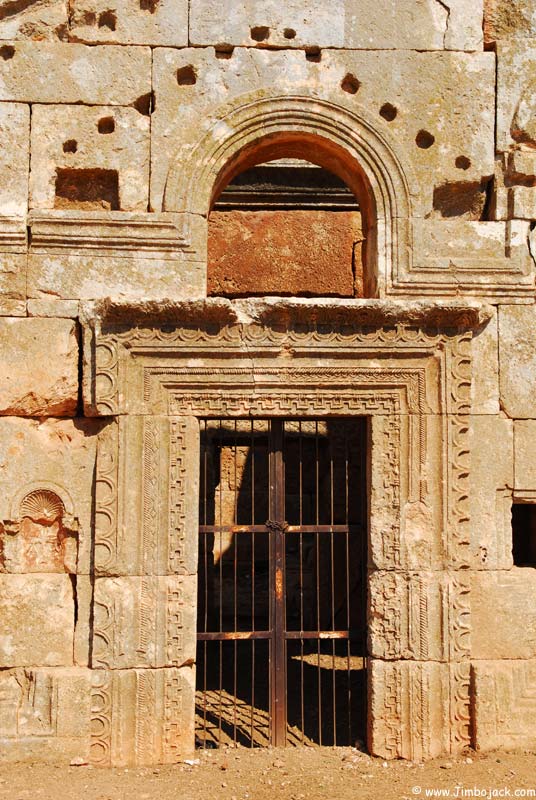
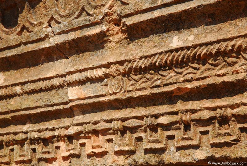
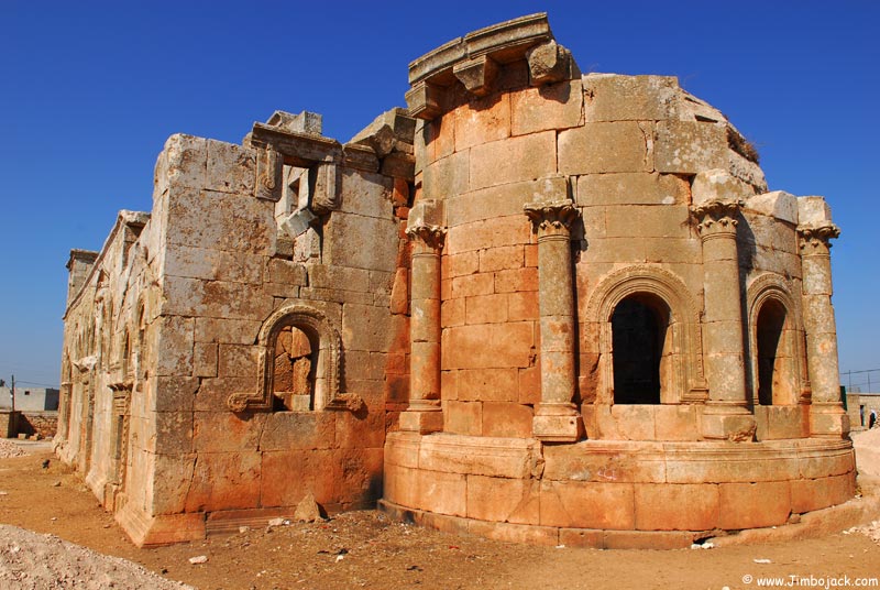
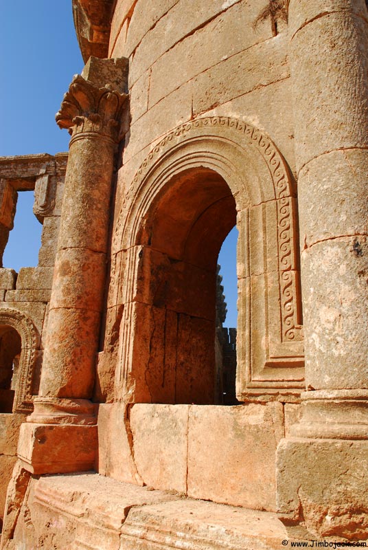
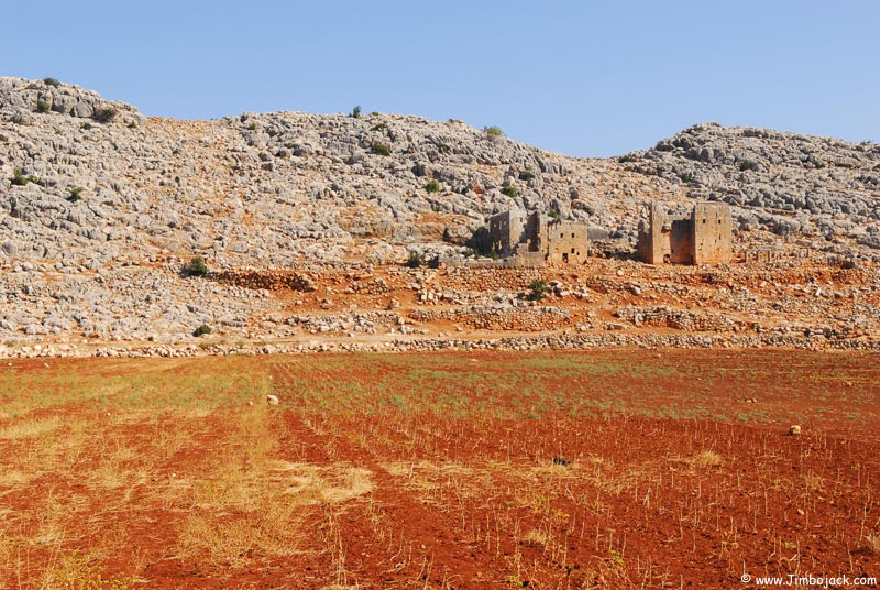
A dead city about 2 kilometers away from Qalb Lozeh
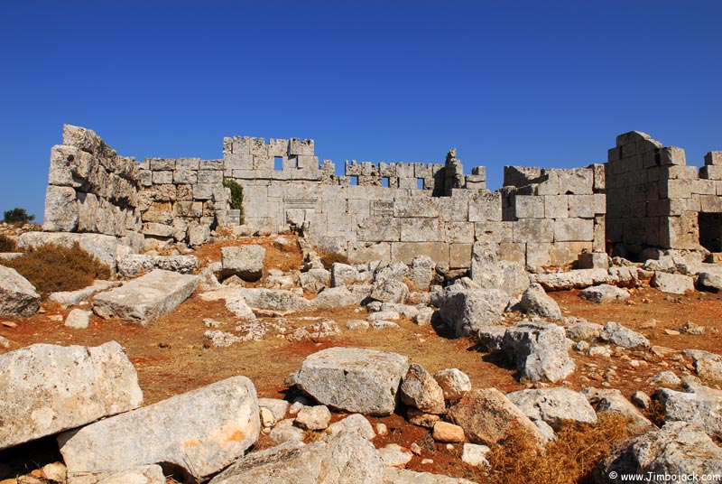
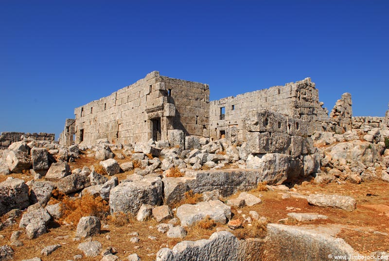
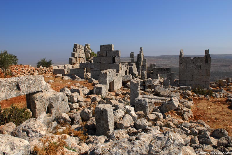
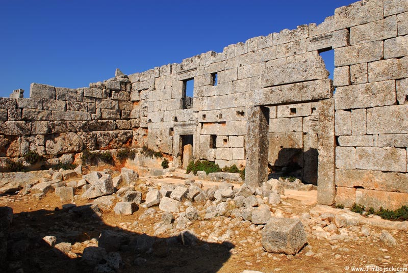
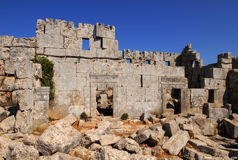
The dead cities of Bakira and Darkita
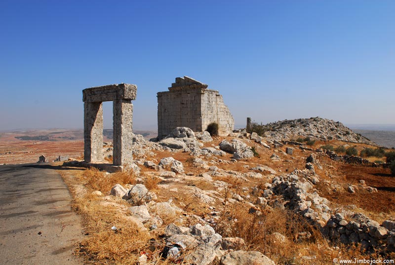
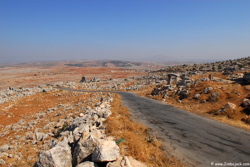
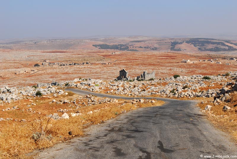
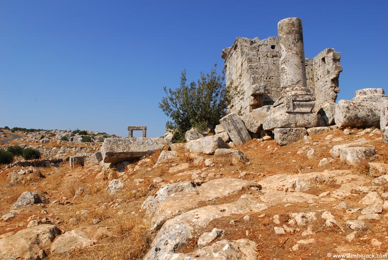
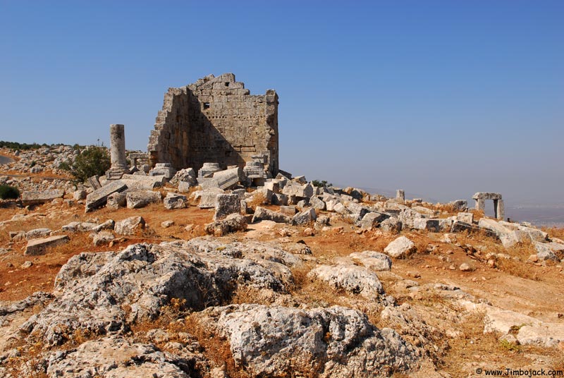
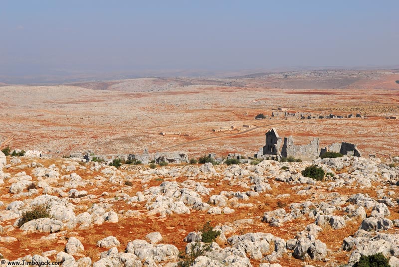
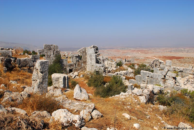
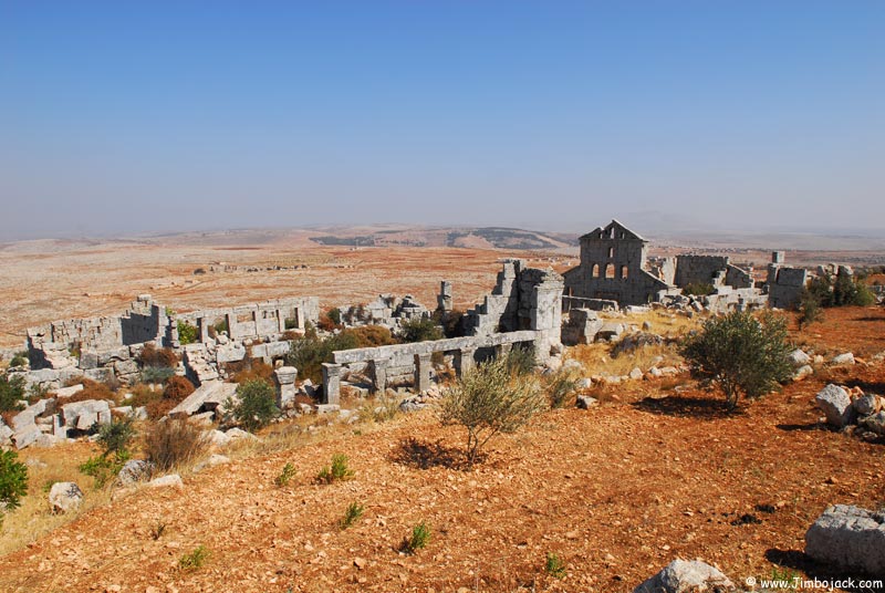
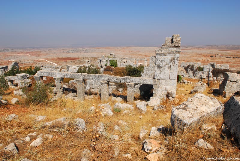
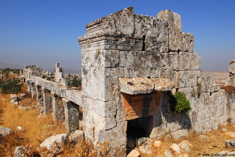
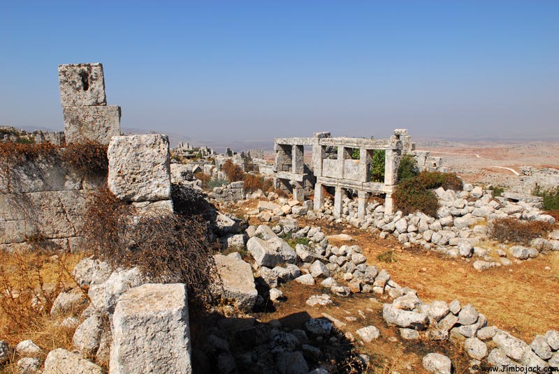
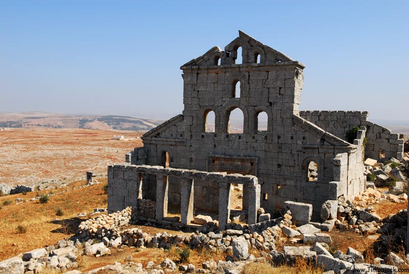
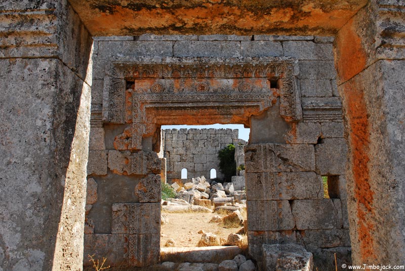
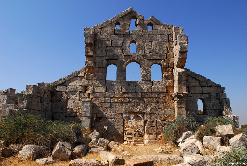
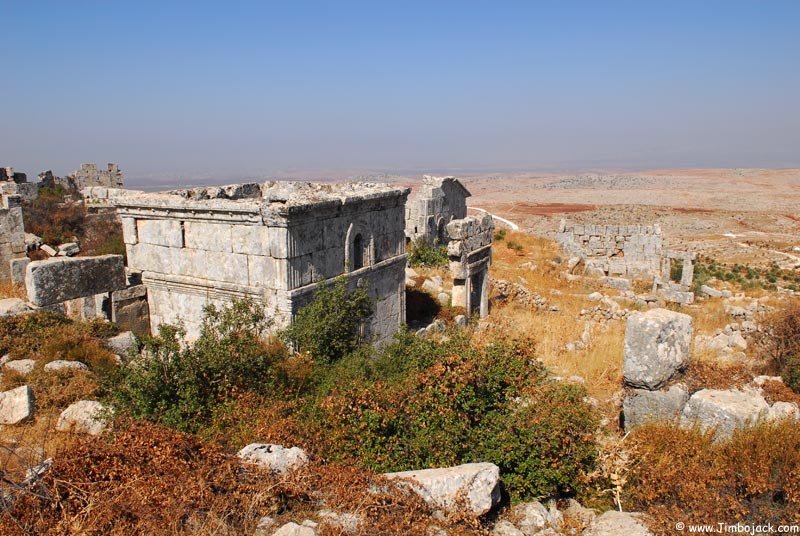
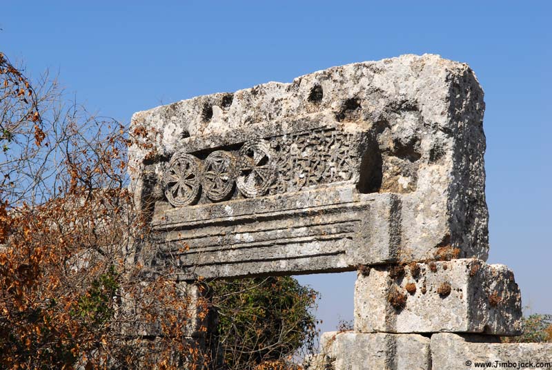
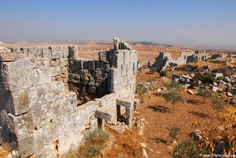
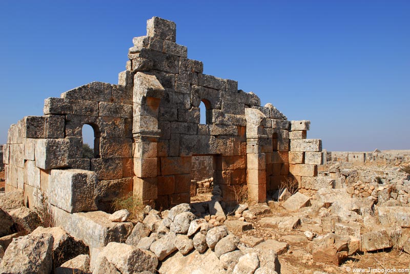
Qatura
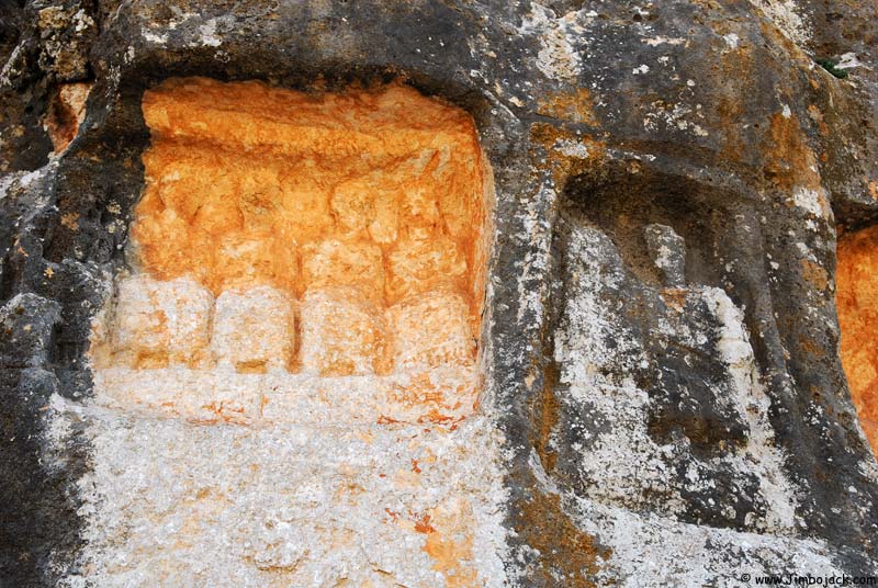
Roman tombs were cut into the rock here along with Greek and Latin inscriptions. The carvings above the tombs represent the people that were buried in them. The eagle represents a Roman military general who was buried here along with 2 other soldiers.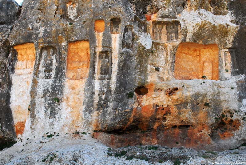
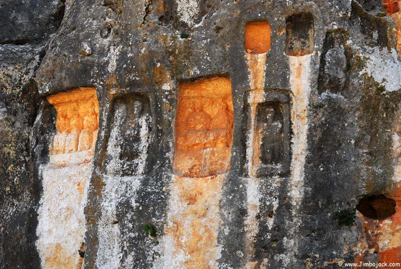
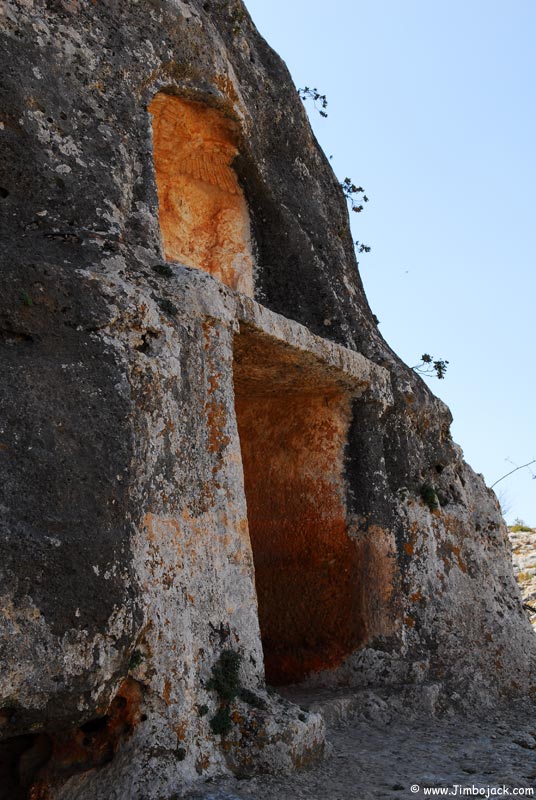
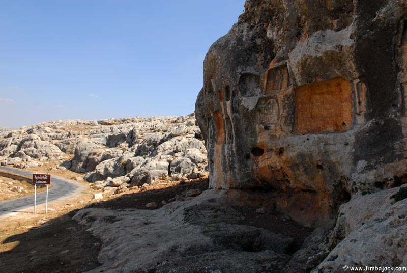
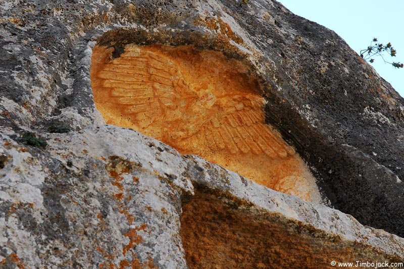
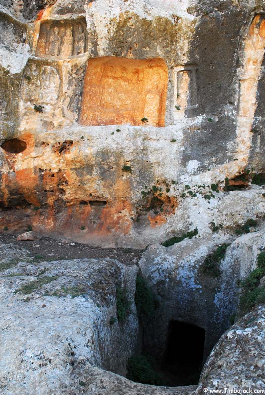
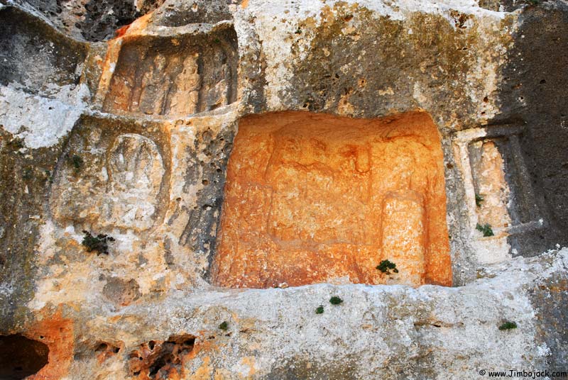
Road leading to the tombs
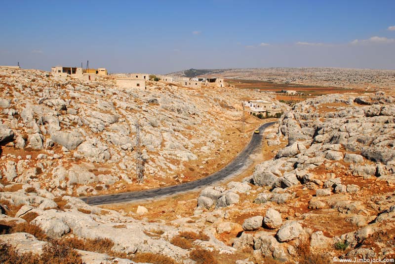
Houses constructed on top of some of the tombs, the tombs themselves are used to provide shelter for sheep and goats.
